Connecting to the PostgreSQL database with pgAdmin
There are a number of front-end tools available for connecting to, and working with, the PostgreSQL database. Among the most popular are psql, a command-line tool for querying the database, and the free and open source graphical tool pgAdmin.
Note
Any data querying and manipulation you can do with pgAdmin can also be done at the command line with psql.
Launching pgAdmin
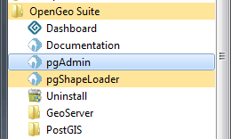
Depending on how OpenGeo Suite was installed pgAdmin may or may not have been installed. See the Installation section for installation instructions. Once installed follow the instructions below for your platform.
Mac
On Mac the pgAdmin application is accessible from the installer image under PostGIS Utilities.
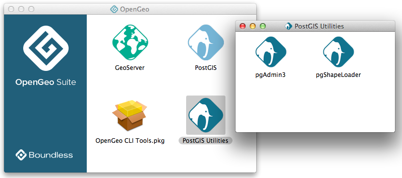
Launching pgAdmin on Mac
Linux
On Linux pgAdmin can be launched from the terminal with the pgadmin3 command.
Working with pgAdmin
As part of the installation of the OpenGeo Suite, you should have one pre-configured PostGIS server, localhost:5432, listed in the pgAdmin Object browser.
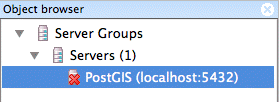
PostGIS server in pgAdmin
If you don’t have an entry for PostGIS listed, add a new server connection manually. Click File ‣ Add Server and complete the New Server Registation dialog box to register a new server. Ensure the Host is set to localhost and Port is 5432 (unless you have configured PostgreSQL for a different port).
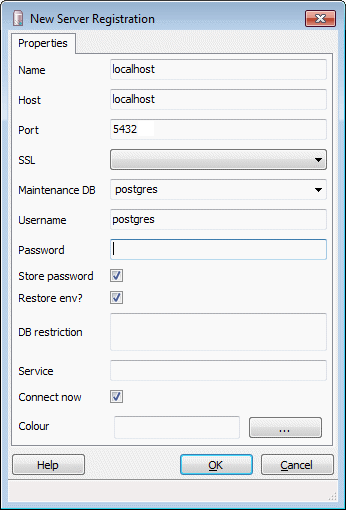
Connection parameters on Windows / OS X
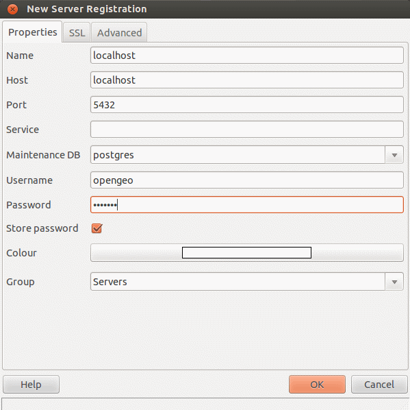
Connection parameters on Linux
To connect to the PostGIS server, double-click the PostGIS server item and provide the password when prompted.
To view the databases in this instance, expand the Databases item. Double-click one of the listed databases to reveal the contents in the Object browser.
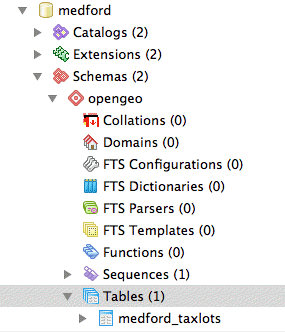
Navigating the database
When executing SQL queries, make sure you have the intended target database selected. The SQL Query dialog box will confirm the current database selection.
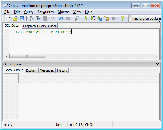
Querying a database
Note
If you are just installing OpenGeo Suite for the first time, there will only be a generic “postgres” database installed, with no tables, and you will need to create a new spatial database.