New installation
Note
If upgrading from a previous major version see the Upgrade section. If upgrading from a previous minor version, please continue below.
Prerequisites
OpenGeo Suite has the following system requirements:
- Operating System: Windows Vista, 7 or 8, or Windows Server 2003 or higher
- Memory: 1GB minimum (2GB recommended)
- Disk space: 600MB minimum (plus extra space for data)
- Browser: Any modern web browser is supported
- Permissions: Administrative rights
- Software: .NET Framework 4 (Download)
Installation
Warning
OpenGeo Suite for Windows requires .NET Framework 4. Installation will fail if not present.
Double-click the OpenGeoSuite.exe file.
At the Welcome screen, click Next.
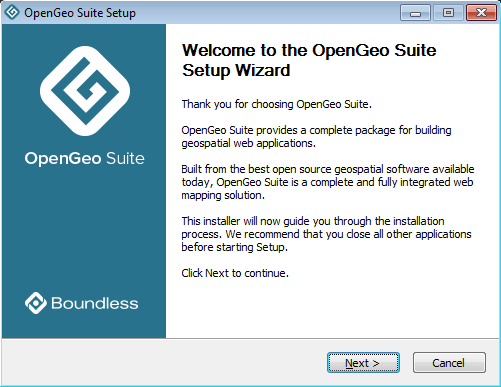
Welcome screen
Read the License Agreement then click I Agree.
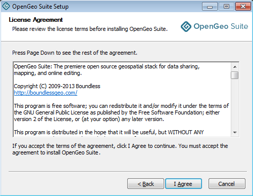
License Agreement
Select the Destination folder where you would like to install OpenGeo Suite, and click Next.
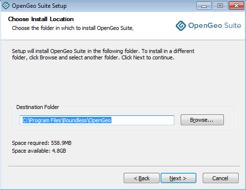
Destination folder for the installation
Select the name and location of the Start Menu folder to be created, and click Next.
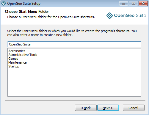
Start Menu folder to be created
Select the components you wish to install, and click Next.
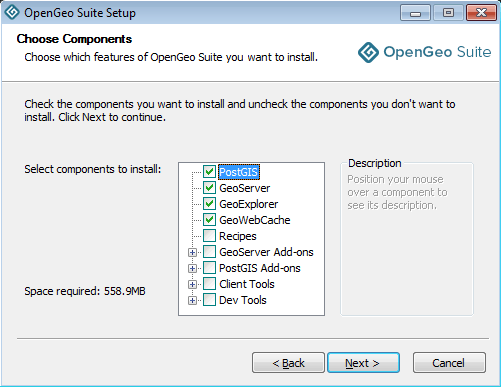
Component selection
See Components for more details.
Click Install to perform the installation.
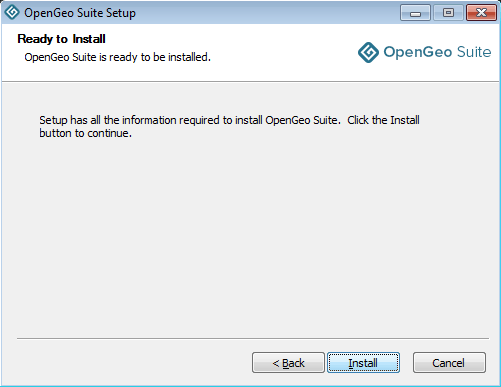
Ready to install
Please wait while the installation proceeds.
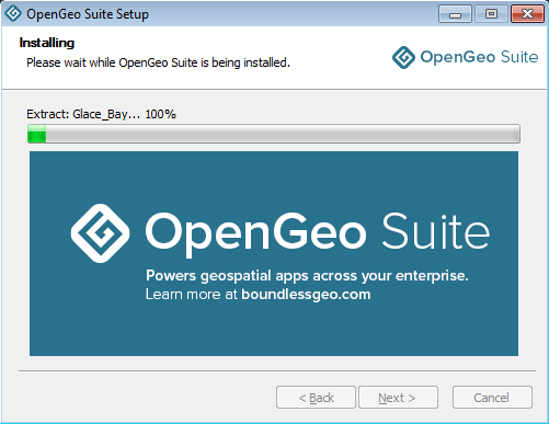
Installation
After installation, click Finish.
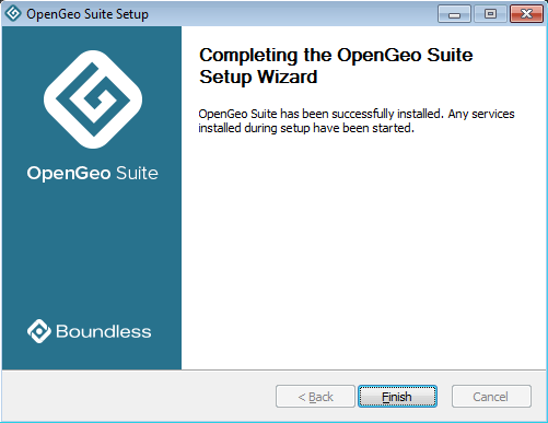
OpenGeo Suite successfully installed
After installation
Installation is now complete. After installation, please see the section on Working with OpenGeo Suite for Windows.
Components
The following is a list of components available in the Components page of the installer.
| PostGIS | The PostgreSQL/PostGIS spatial database. |
|---|---|
| GeoServer | Server implementing OGC compliant map and feature services. |
| GeoWebCache | Tile caching server. |
| GeoExplorer | Map viewing and editing application. |
| Recipes | Code samples for building map applications. |
GeoServer Extensions
| Mapmeter | Mapmeter monitoring service. |
|---|---|
| CSS Styling | CSS map styling support. |
| WPS | Web Processing Service (WPS) support. |
| MongoDB | MongoDB database support. |
| GeoPackage | GeoPackage data source support. |
| CSW | Catalogue Service for Web (CSW) support. |
| Clustering | Clustering plug-ins. |
| GDAL Image Formats | Additional raster formats support as part of GDAL integration. |
Client Tools
| PostGIS | PostGIS command line data loading utilities. |
|---|---|
| pgAdmin | Graphical PostGIS/PostgreSQL database manager. |
| GDAL/OGR | Spatial data manipulation utilities. |
Dev Tools
| Boundless SDK | Toolkit for building web map applications. |
|---|---|
| GeoScript | Scripting extension for GeoServer. |
Uninstallation
To uninstall OpenGeo Suite run the uninstaller from the start menu. See the Uninstallation section for more details.