QGIS Desktop GIS and Suite Plugin
QGIS Desktop
QGIS is a cross-platform open source GIS desktop application for viewing, editing, and analyzing geospatial data from a variety of vector, raster, and database formats.
Features
- Viewing of vector and raster data from different formats, including PostGIS, Esri Shapefiles, OGC services, and more
- Interactive exploration of spatial data, including on-the-fly reprojection
- Create, edit, and export spatial data
- Perform spatial analysis, including map algebra, terrain analysis, network analysis, and more
- Publish maps to the internet using OpenGeo Suite
- Adapt QGIS to your needs with the extensive plugin library
QGIS also has a vibrant user and developer community. Visit http://qgis.org to learn more.
Documentation
OpenGeo Suite QGIS Plugin
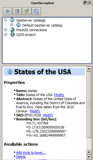
OpenGeo Suite Explorer is a QGIS plugin for configuring the components of OpenGeo Suite through QGIS.
Use it to prepare data in PostGIS or style and publish directly to GeoServer, all through the QGIS interface.
Getting the Plugin
The 4.1 Suite Release’s QGIS comes with this plugin already installed. If you have a version of QGIS without the plugin, installation directions can be found in the Installation section of this manual.
Documentation
This manual describes how to use the plugin and the operations that it supports for interacting with OpenGeo Suite.